Define the inspection question
Start by writing down the decision the imagery should support. Mapping obvious surface contamination is different from screening for cell-level thermal patterns. The question determines the necessary detail, camera capability, viewing geometry and follow-up method. “Inspect everything” is not a usable acceptance criterion unless the team also defines what counts as adequate coverage and what remains outside the survey’s scope.
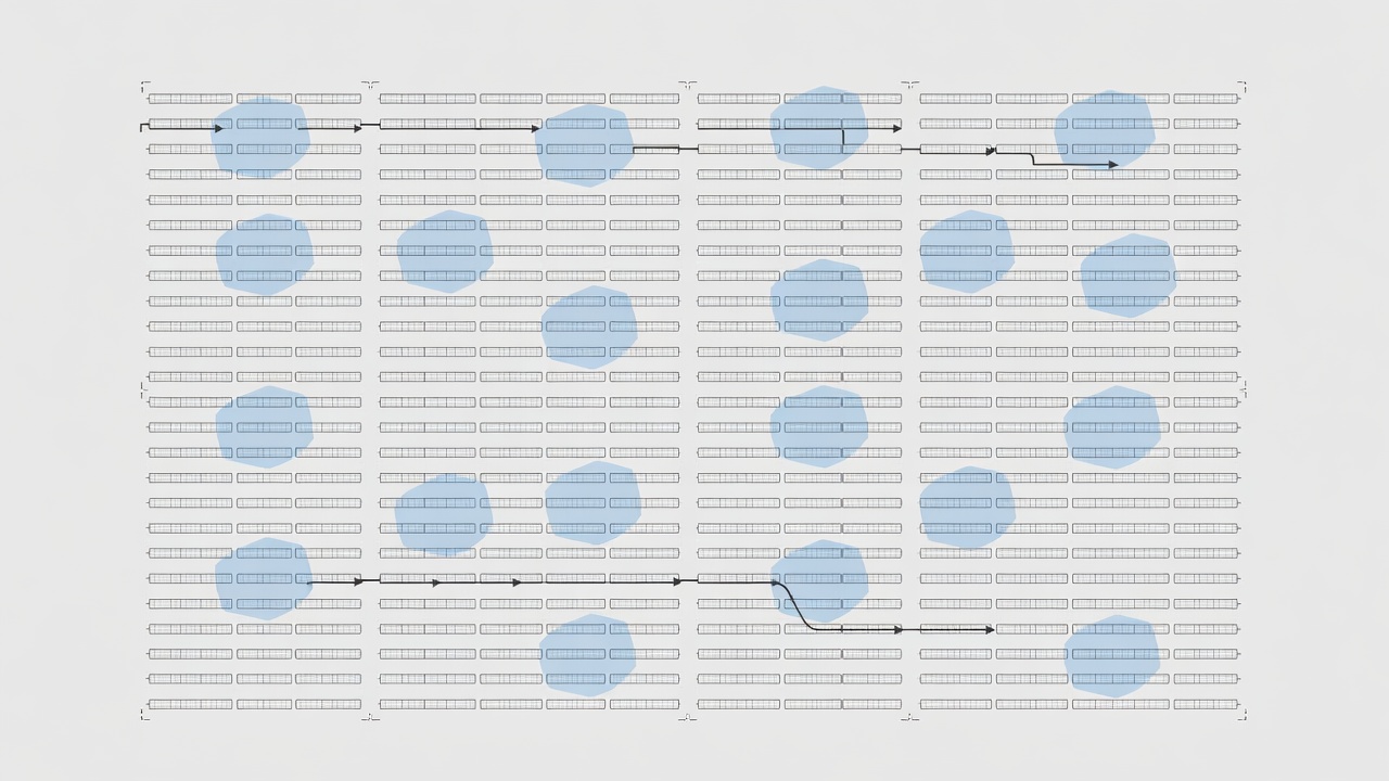
Agree on deliverables before take-off: original visible files, original radiometric files where applicable, asset-linked findings, a coverage record and a list of images rejected for quality. An attractive stitched overview can help orientation, but it should not replace the original frames used to make a technical judgement.
Establish a safe and lawful flight
The operator must assess airspace, people, obstacles, weather, land access and the applicable operating category. In Europe, consult the European Union Aviation Safety Agency and the relevant national authority, such as the Irish Aviation Authority. Permission from a landowner is not the same as permission to conduct any proposed flight. Keep emergency access and the solar operator’s site rules within the plan.
Coordinate with the asset owner so the inspection team knows the plant’s operating state. A disconnected string, curtailed inverter or recently changed tracker position can alter what an image means. Where electrical access or switching is needed, qualified site personnel must control that activity. The drone crew should not improvise electrical interventions to improve an image.
Match resolution to the target
Sensor resolution alone does not describe useful detail. Flight distance, lens choice, focus, motion, viewing angle and compression all affect whether a panel feature is distinguishable. Test representative frames before completing the full site. Ask whether a reviewer can separate neighbouring modules, identify relevant cell or substring patterns and read the location unambiguously.
Visible and thermal cameras may have different fields of view and different timing. Check their alignment rather than assuming that matching filenames refer to precisely the same footprint. Record the camera model, lens, relevant settings and any processing steps. If temperature analysis is intended, retain the radiometric data rather than only a colour-rendered screenshot.
Capture the conditions, not just the panels
Thermal interpretation depends on the inspection environment. Log irradiance information, cloud changes, wind observations, ambient conditions and the source and timing of those measurements. A weather station far from the surveyed rows may not describe a passing cloud over the aircraft. Treat a changing sky as an evidence-quality issue, not merely a scheduling inconvenience.
Viewing angle matters because reflective surfaces can show the sky or nearby objects. A suspicious bright patch that moves or changes when viewed differently may be a reflection rather than an equipment fault. Plan safe repeat views where appropriate and identify sections that need reacquisition. IEC 62446-3 provides a framework for outdoor infrared inspection; use the current standard and project requirements rather than a universal internet checklist.
Make location trustworthy
A drone coordinate is a useful starting point, not always a sufficient module address. Establish a consistent hierarchy such as site, inverter block, row, table and module position. Reconcile that hierarchy with the owner’s asset register. Keep the mapping method and any uncertainty visible, especially near row ends or where repetitive layouts can cause a one-module shift.
Check a sample of image-to-asset matches across the site, including boundaries and irregular sections. Preserve the original asset identifiers when exporting findings into another platform. If identifiers change during a retrofit, retain a cross-reference so previous inspections remain interpretable.
Hand over an inspectable dataset
Separate quality control from defect review. First determine whether a frame is fit for the task; then ask what it shows. Otherwise, an algorithm may turn motion blur, stitching errors or poor contrast into a convincing-looking finding. Maintain a rejected-image log with reasons and, where possible, a recapture instruction.
The final capture package should allow another reviewer to retrace the survey. Include acquisition times and time-zone information, equipment details, coverage, location conventions and known limitations. This is the bridge between a flight and a defensible inspection: not more imagery for its own sake, but enough contextual evidence to support the next decision.
Sources and further reading
- EASA: civil drones and operating rules.
- Irish Aviation Authority: drone guidance.
- IEC catalogue: search IEC 62446-3, outdoor infrared thermography of photovoltaic systems.